自主研发、前装量产、绿色零碳的、
且实现商业化应用的无人驾驶产品
能落地运营的无人驾驶卡车产品
基于V2X技术落地应用
的主动式公交优先系统
领先的自动驾驶技术跨界
应用于轨道交通场景
与智能驾驶共赴美好生活
中国领先的商用车自动驾驶技术供应商
车路协同
助力国家级车联网先导区建设
让道路成为超级信息走廊
给列车装上AI的眼睛
为安全行驶保驾护航
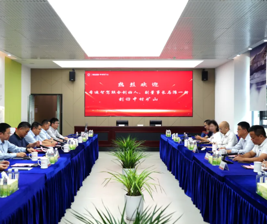
创造采矿元宇宙
让天下没有难采的矿